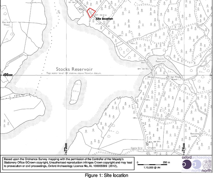
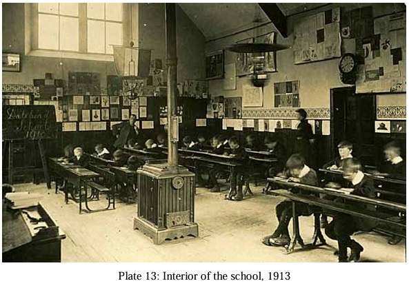
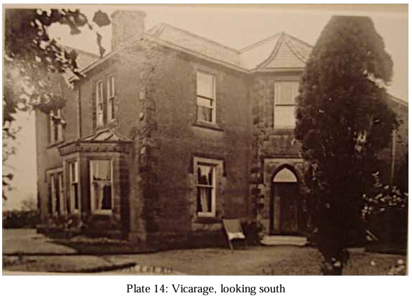
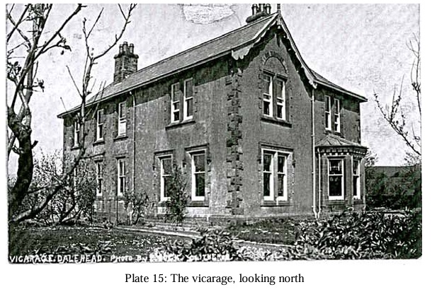
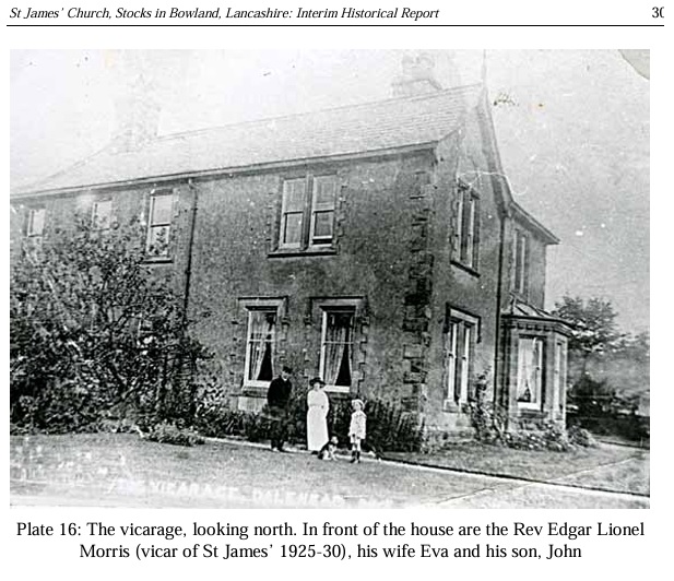
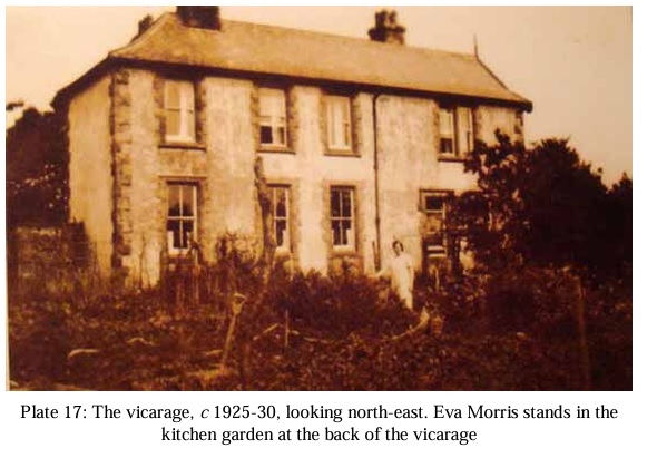
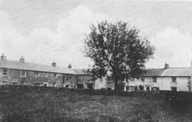
ON July 5 1932, the valve was opened on a new reservoir at the head of the Hodder Valley in Bowland causing the loss of a community that had endured for more than 1,000 years. ANYONE using a map to find the village of Stocks-in-Bowland could be looking for a long time. The area where it once stood, the Dalehead valley, was flooded in the early 1930s to create Stocks Reservoir to serve the increasing population of the Fylde coast. It led to the loss and displacement of a whole community whose homes were demolished to make room for the construction of a dam and reservoir.
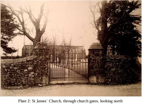 But now keen historians have ‘dug’ into Bowland’s past to uncover the remains of a forgotten church on the edge of Gisburn Forest once used by the villagers. The Lancaster-based Oxford Archaeology North and keen volunteers have excavated the buried foundations of St James’s Church, the 19th century church demolished during the construction of the reservoir. Historian Bill Mitchell, who penned The Lost Village of Stocks-in-Bowland, said the area was chosen by the Fylde Water Board due to an ‘unusual’ micro-climate with large amounts of rainfall. An extract from his book says: “Daleheaders were a spirited, self reliant, somewhat isolated people who had come to terms with an area where the weather was often grim and every blade of grass must be coaxed from the cold, wet soil overlying the glacial clay.”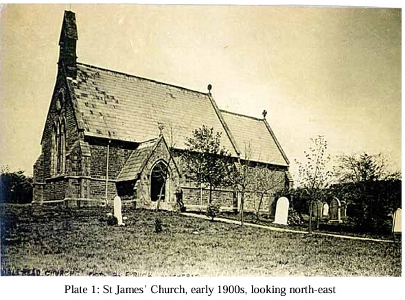
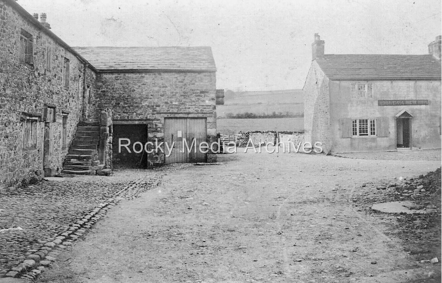
The water board began surveying the area in 1910. And by 1912 an act was passed in Parliament empowering the board to compulsorily purchase the land in the proposed water catchment area. In 1915 the board began to purchase buildings in the village including Wheelwright’s shop and machinery owned by John Swale. They also took over the local pub, The Traveller’s Rest, to accommodate engineers and officials. By 1919 they completed the purchase of the whole village. Mr Mitchell said: “The farmfolk and villagers were helpless against the might of the Fylde Water Board, with its powers of compulsory purchase. It was acquisition by stealth. “The board employed the best solicitors, whereas the farm folk, with no spare cash, could not hope to have professional advice. “Farms which were not in a flood zone were abandoned because they stood on the catchment area. They became memorials to a vanquished people.” Farming continued in the area but on a much smaller scale as the board pursued a course of planting trees. Most of the community was now in exile and tenant farmers who had no compensation settled where they could. In 1926 the River Hodder was diverted through a tunnel to enable work on the dam to start.
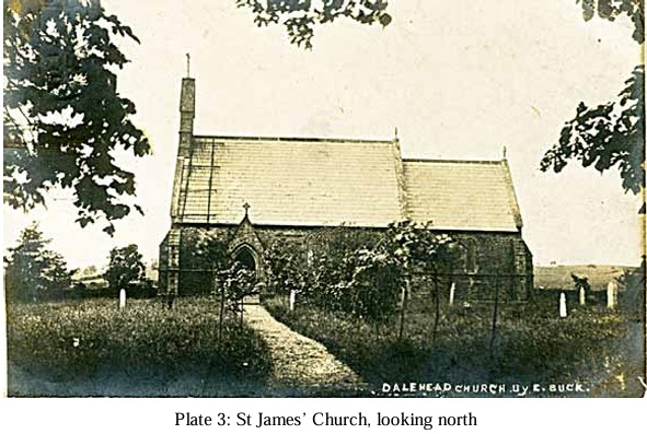
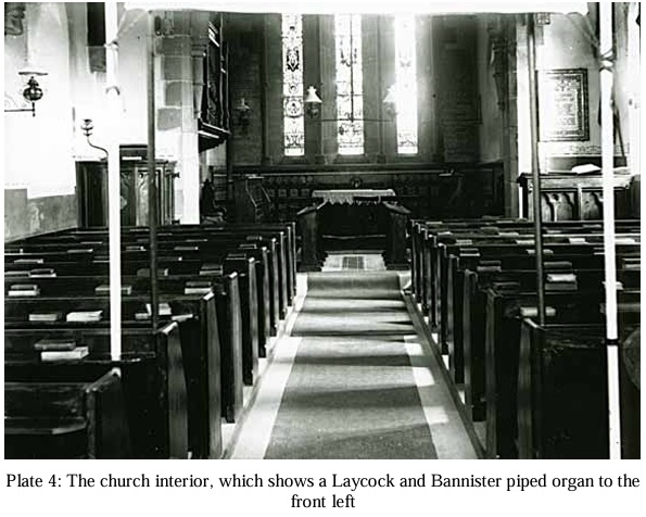
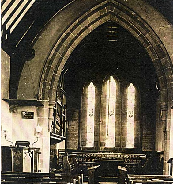
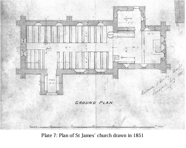
As many of the farms within the catchment area of St James’ had been demolished, together with the loss of the village houses in the flooded valley, the congregation of St James’ had become very small.
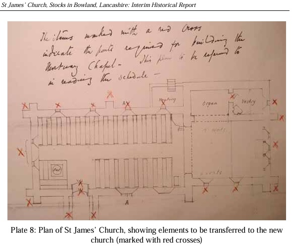 An order of the council in 1934 therefore split the Dalehead parish between Slaidburn and Tosside, with the new burial ground located in Tosside .The final service at St James’ was carried out on May 24th 1936 by the Rev Cyril Slater. The usual congregation of, by then, around nine people swelled to around 200 for the occasion, with people coming from miles around St James’ was finally dismantled in 1937. Original plans were only for a mortuary chapel at the new site, but the community wanted a church to replace St James’, and so a new church was constructed, using stone from St James’, and was consecrated on June 30th 1938. Some of the fixtures and fittings from St James’ Church, including the stained glass windows, also went to the new church (Slaidburn Archive notes). The building was consecrated in 1938 by Bishop Mounsey, the Assistant Bishop of
Bradford. Slaidburn Archives holds copies of a plan drawn up in 1936 showing elements of St James’ to be re-used (marked with a red cross) (Plate 8); the site of the original church is now occupied by a car park (ibid).
An order of the council in 1934 therefore split the Dalehead parish between Slaidburn and Tosside, with the new burial ground located in Tosside .The final service at St James’ was carried out on May 24th 1936 by the Rev Cyril Slater. The usual congregation of, by then, around nine people swelled to around 200 for the occasion, with people coming from miles around St James’ was finally dismantled in 1937. Original plans were only for a mortuary chapel at the new site, but the community wanted a church to replace St James’, and so a new church was constructed, using stone from St James’, and was consecrated on June 30th 1938. Some of the fixtures and fittings from St James’ Church, including the stained glass windows, also went to the new church (Slaidburn Archive notes). The building was consecrated in 1938 by Bishop Mounsey, the Assistant Bishop of
Bradford. Slaidburn Archives holds copies of a plan drawn up in 1936 showing elements of St James’ to be re-used (marked with a red cross) (Plate 8); the site of the original church is now occupied by a car park (ibid).
more at................https://cheshirenow.co.uk › stocks_reservoir.html
©Parul Sharma GAU Senior Writer @ Lancs Live ©By Nazia Parveen@ Lancs Live / Helen Wallbank Slaidburn Archive / Bill Mitchell /
